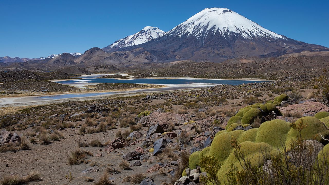
A volcanic eruption 22 million years ago froze a snapshot of the Andes in their youth, revealing a slow-and-steady formation of this formidable mountain range.
The eruption, which originated from the Lauca Caldera in what is now northern Chile, blanketed the landscape in a formation known as ignimbrite. This rock is left over after a pyroclastic flow — a mix of rock, volcanic gas and ash that sweeps over the landscape like a broiling tsunami. Pyroclastic flow is what buried the Roman town of Pompeii after the eruption of Mount Vesuvius in A.D. 79, preserving buildings and people where they fell.
Now, a new study published Sept. 11 in the journal Science Advances extrapolates the landscape under this Andean ignimbrite, revealing that it must have buried rolling foothills rather than craggy peaks.
"Pompeii shows how volcanic eruptions can freeze a moment in human history," Byron Adams, a geomorphologist at University College London, said in a statement. "This study shows that much larger eruptions can also freeze moments in Earth history, burying whole landscapes beneath volcanic deposits and preserving clues to how mountains were being built before the eruption. We cannot dig down to see the buried landscape, but we can use the shape of the volcanic blanket and what we know about how rivers shape mountains to infer what is hidden beneath it."
Volcano deposits, known as ignimbrite, that were incised by the Lluta River in northern Chile. (Image credit: Frances J. Cooper)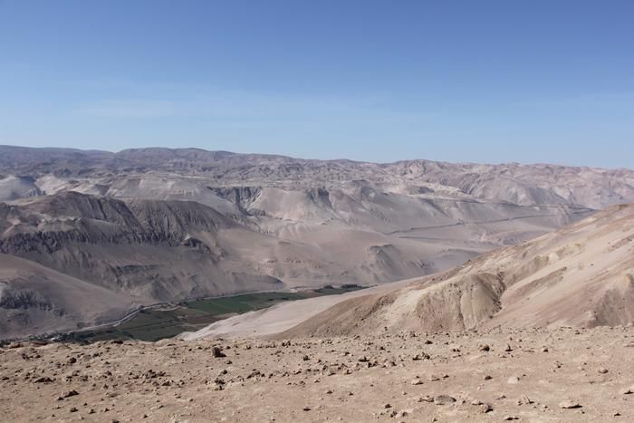
The original slope of the volcanic flow from Lauca Caldera was about 1.5 degrees, Adams and his colleagues wrote in the new paper. The researchers also calculated the erosion of the landscape to figure out how fast the rocks in the area were rising as the oceanic Nazca Plate pushed under the continental crust of South America, which is how the Andes were built.
Related stories- Andes region formed in 4 stages over the last 24 million years, new modeling study suggests
- Scientists may finally have an explanation for the centuries-old 5,200 mystery holes in the Peruvian Andes
- How do mountains form?
They found that prior to the eruption, the uplift of the crust was no more than 0.16 mile (0.26 kilometer) per million years — quite a sluggish process. This finding corresponds to earlier work that used the formation of certain minerals within rocks to determine when a particular rock rose through the crust and approached the surface.
"There is debate over whether the Andes grew slowly and steadily over 40 or 50 million years or whether they rose extremely slowly and then popped up more recently, in the last six to 10 million years," Adams said. "Our findings, which cover a large part of the middle of that history, support the slow but steady hypothesis."
The same method could be applied to other mountain ranges worldwide, the researchers added.